
AU Receives $867K NSF Grant to Advance Wildfire Prediction with AI
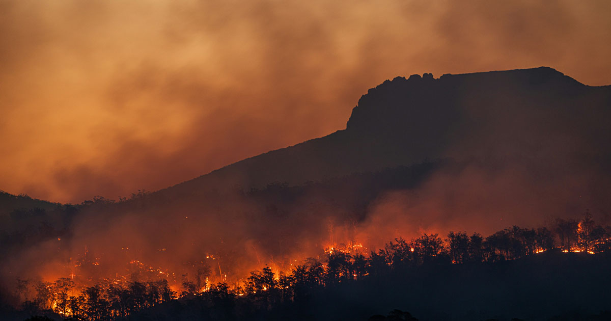 Photograph by Matt Palmer
Wildfires are growing faster, fiercer, and harder to predict—but artificial intelligence may soon tip the balance. Backed by a $867,245 grant from the National Science Foundation (NSF), American University Professor Leah Ding is building an AI system that can detect, forecast, and assess the risk of wildfire activity in real time and with unprecedented precision.
Ding's work was inspired in part by the smoky haze that blanketed the Washington, DC, region several years ago. “Wildfires really hit my radar when the DMV was covered in smoke from the 2023 Canadian fires,” she says. “Seeing how quickly wildfires were escalating made it urgent for me to use my AI skills to help.”
Turning this urgency into action, Ding is leading a three-year effort to push wildfire forecasting into a new era. She and her collaborators will be working from January 2026 to December 2028 to develop advanced AI and machine learning frameworks capable of integrating multiple geoscientific datasets ranging from satellite imagery and land-surface information to historical fire records and atmospheric reanalysis.
Ding's new AI framework and machine learning algorithms can be integrated into existing alert systems to help provide more accurate wildfire detection and forecasts, ultimately giving firefighters more time to respond, communities more time to prepare, and leaders the information they need to save lives and protect property.
“This prestigious grant reflects the strength of American University’s R1 research designation and the innovative work happening across the College of Arts and Sciences,” says Dean Linda Aldoory. “Professor Ding’s project not only advances our understanding of climate challenges, but it also creates extraordinary opportunities for AU students to engage in hands-on, real-world research at the forefront of artificial intelligence.”
Tackling the Limitations of Current Prediction Models
Current wildfire prediction models, Ding says, often fall short due to the complexity of fire dynamics and limitations in available data. They depend heavily on two types of satellite data: Geostationary (GEO) satellites and Low-Earth orbit (LEO) satellites. GEO satellites scan the globe every 10 to 15 minutes. This works for seeing large areas often, but the images are fairly blurry, so they can miss small or fast-moving fires. LEO satellites, on the other hand, capture sharper images, making them better at spotting smaller fire details. But they only pass over the same place about twice a day, leaving long gaps in coverage when fires can spread quickly.
On top of that, Ding explains, fire data comes from many sources—different instruments, weather models, and more—each with its own timing, resolution, and accuracy, making integration even more difficult.
Ding's approach addresses these challenges by integrating diverse datasets and enabling long-term, data-driven forecasting. “Our proposed advanced AI framework includes a machine learning model designed to handle incomplete data so it can take advantage of both GEO and LEO satellite observations and make reliable predictions when only part of the data is available,” she explains. “It also has a federated learning model (which combines insights from many datasets while keeping the data itself private) that empowers collaborative data analysis and learning.”
Ding says she will be working with wildfire scientists, remote sensing experts, and AI researchers. “Each brings a piece of the puzzle: fire behavior expertise, satellite data knowledge, and advanced machine learning methods,” she says. The work will support federal, state, and local agencies, including NASA, the US Forest Service, and the National Park Service, by ensuring that the methods meet real-world operational needs.
The Student Role
Beyond its scientific contributions, Ding's project emphasizes broad societal and educational impact. It will generate an open-source integrated dataset for the research community, giving students and scientists a standardized benchmark and resource to develop and test new AI models without starting from scratch—right now, many wildfire studies rely on fragmented data, which makes it hard to compare models or reproduce results. “By bringing together satellite observations, environmental variables, and fire records in one place, we’re lowering that barrier, so researchers can innovate faster in the field of AI for wildfire science,” Ding explains.
American University students will get the opportunity to help preprocess historical data, build machine learning models, analyze data, and test tools. Ding says she’s excited to see her students grow from learners to researchers making real contributions. “I hope they leave inspired that AI can play a real role in how we understand, predict, and respond to wildfires, and that they feel empowered to be part of those solutions,” she says. “Beyond wildfire predictions, I want my student researchers to come away capable and thoughtful, ready to participate in shaping an AI-powered future, not just be shaped by it.”
For More Information
If students are interested in getting involved in Professor Ding’s research, they can email her directly at ding@american.edu.